
")
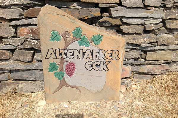
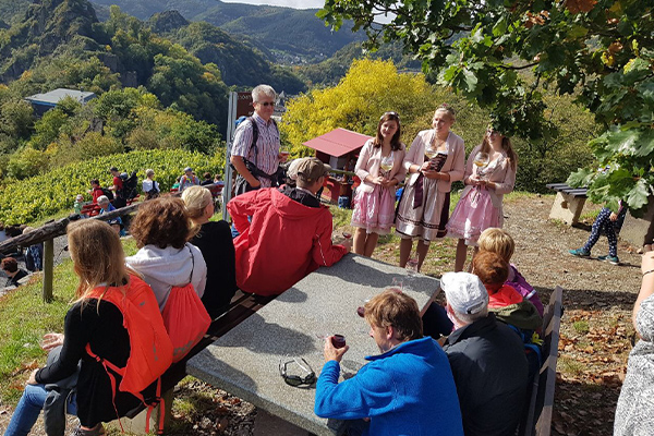
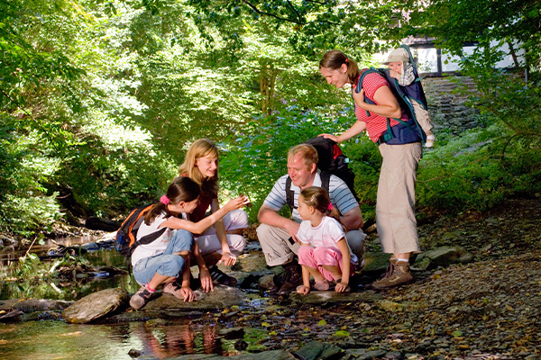
Discover popular hiking trails around Altenahr
Cyclists get their money's worth with the Ahr Valley Cycle Path. From the source to the mouth of the Ahr, the path meanders through the valley and leads visitors through the varied landscape, from the Eifel heights to the Rhine valley.
The 85 km long tour starts in Blankenheim, where the idiosyncratic tributary of the Rhine rises and ends at the mouth of the Ahr near the Barbarossa town of Sinzig and leads through the middle of the red wine paradise of the Ahr Valley. The cycle route is easily manageable by recreational cyclists. In the upper Ahr valley you use the road a few times, the expansion of the cycle path has already been completed in Altenahr.
You don't want to explore the Ahr Valley Cycle Path or other cycle routes in our region on your own? Our tour guides will show you the most beautiful sides of the Ahr Valley & Eifel on guided bike tours.

Would you like to rent bicycles and e-bikes?
You can do this at AhrEifelTouren on Tel .: 02643 901894.
The bike rental is at Gieretsberg 7, 53505 Altenahr
The AhrSteig
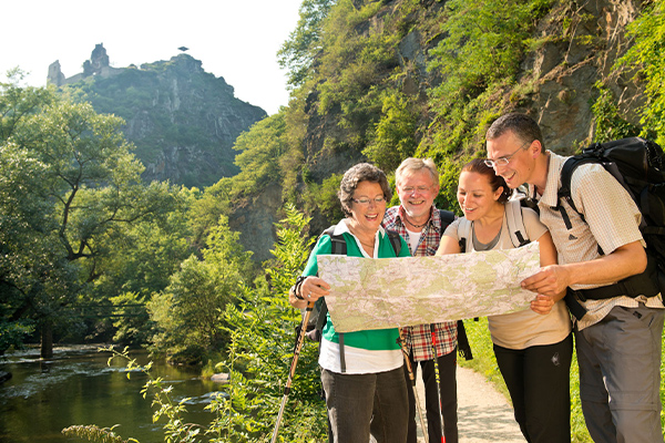
The quality hiking trail AhrSteig has been delighting all nature lovers since August 2016 with stage 5 Kreuzberg-Walporzheim (17.2 km)
From the source of the Ahr in Blankenheim, the route reaches Altenahr in four blue-marked stages. From the Kreuzberg district, stage 5 (red) leads to Walporzheim, from where you can reach the mouth of the Ahr near Sinzig in two further stages. In the west there is a connection to the Eifelsteig, in the east to the Rheinsteig and Rheinburgenweg.
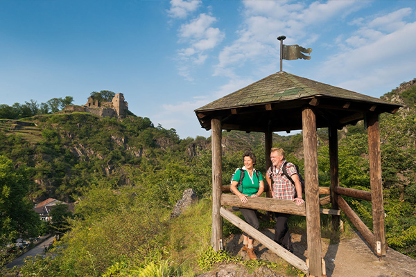
“Rocks, castles, water and wine” so succinctly you can describe this wonderful stage as the “fillet piece” of the climb.
It leads through one of the most beautiful areas of the central Ahr Valley and offers breathtaking views of the wine-growing Ahr Valley and far beyond the Ahr Heights.
With a view of Kreuzberg Castle, the path initially leads uphill on a narrow path. Surefootedness is required on the section through the spectacular rocky landscape around the Teufelsloch. A varied ascent leads to the Krähhardt and the Teufelslei. Between the forest and the vines, the route continues towards Mayschoss.
For the most part, you hike on natural paths, in some parts the path has a steep character and therefore requires the hiker to be sure-footed and in good physical condition.
Difficulty level: difficult
Total ascent stage 5: 576 m
You can find detailed information on the individual stages here:
![]()
Ahr valley hiking experience
You can download the brochure "Wandererlebnis Ahrtal" here.
We wish you great hiking experiences in the Ahr Valley in cooperation with the cities and municipalities in the Ahr Valley.
